Here’s a map to help you understand the geography of the country. And perhaps it can help you plan your next trip here.
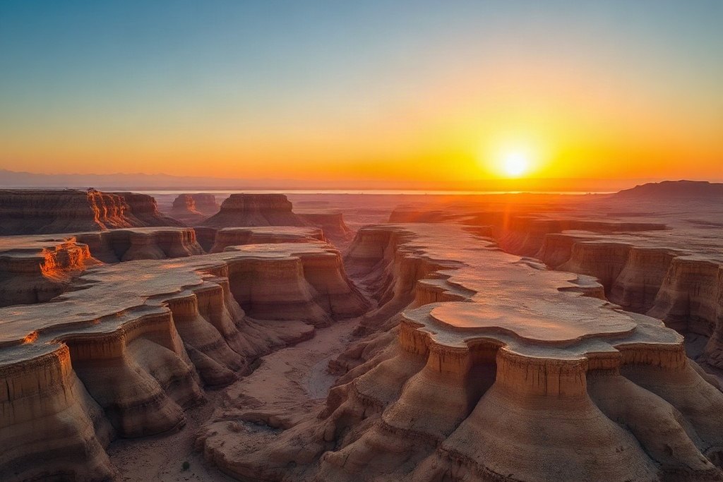
Israel is a small country — about 470 kilometers from Metula in the north to Eilat in the south, and just 135 kilometers across at its widest point. Yet it packs in snow-capped Mount Hermon, the green Galilee, the coastal plain with Tel Aviv, the hills of Jerusalem, the Judean desert and the Negev.
For orientation: the distance from Tel Aviv to Jerusalem is roughly an hour by car; from Jerusalem down to the Dead Sea, about forty minutes; and from the center to Haifa in the north, around an hour and a half.